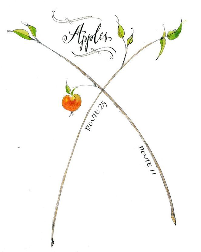
 We once went apple picking and needed a map to find the place. Days later, I drew a simple one, this is how it started. Maps (and geography) came up again this week with the question of where one state was situated within the United States. We weren't sure. So the challenge was presented ... how many states on a blank map of the United States could you place? We challenged one another. I was certain I'd get most of them. He wasn't convinced he (nor I could place them). Turns out he was right. Living in the Northeast, I was able to identify all the states around Maine ... and along the east coast and west coast. A few others like, Louisiana, Texas, Oklahoma, Michigan, and Idaho I got because I remembered them by their unique shape. Buy Idaho potatoes and chances are, there's an image of the state on the bag. Same here in Maine. It was in the middle of the country where things got muddled. It's Geography Awareness Week ... so how do you think you'd do identifying each state? I created a printable blank map you can download. It's a two-page PDF ... page one has all the states, but is blank, page two identifies each state. Try not to look at that until you've tried filling in the blanks. And if you need help, engage someone and start a conversation ... after all, it's Better Conversation Week. Or, send a map to a friend and challenge them, too. In the spirit of National Game and Puzzle Week, use the map to create other challenges ... identify all the states you've lived in or traveled through, or see if you can list the capitol of each ... or quote the state slogan, or identify the state flower or bird. 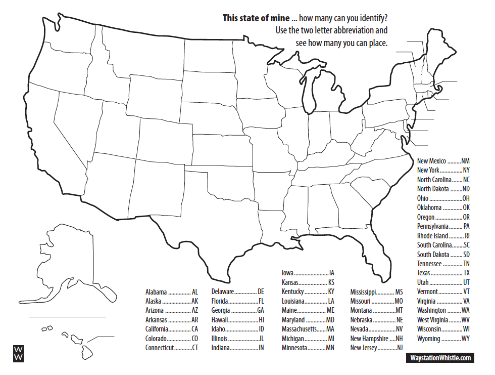
1 Comment
Cathy
11/21/2022 04:22:50 am
I always mixed-up VT & NH until I read somewhere that NH has just a tiny bit of coastline. That clue helps me keep them straight. I've printed off the map to send to my grandkids - see if they know their states. Leave a Reply. |
Whistlestop Blog
Enjoy a story and find inspiration to write one of your own. 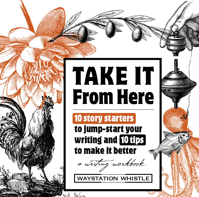
Your FREE workbook with 10 ways to jump-start your writing and 10 tips to make it better.
Categories
All
|